
Motorway corridors
The motorway corridors that shape Austrian driving
Most long car journeys in Austria follow a handful of motorway corridors, and understanding what each one connects makes route planning far easier. This page describes the main corridors, the directions they serve and the situations where each is the sensible choice.
It is about the shape of the network, not about live conditions, which change daily. Use it to pick a corridor, then confirm the details on the day.
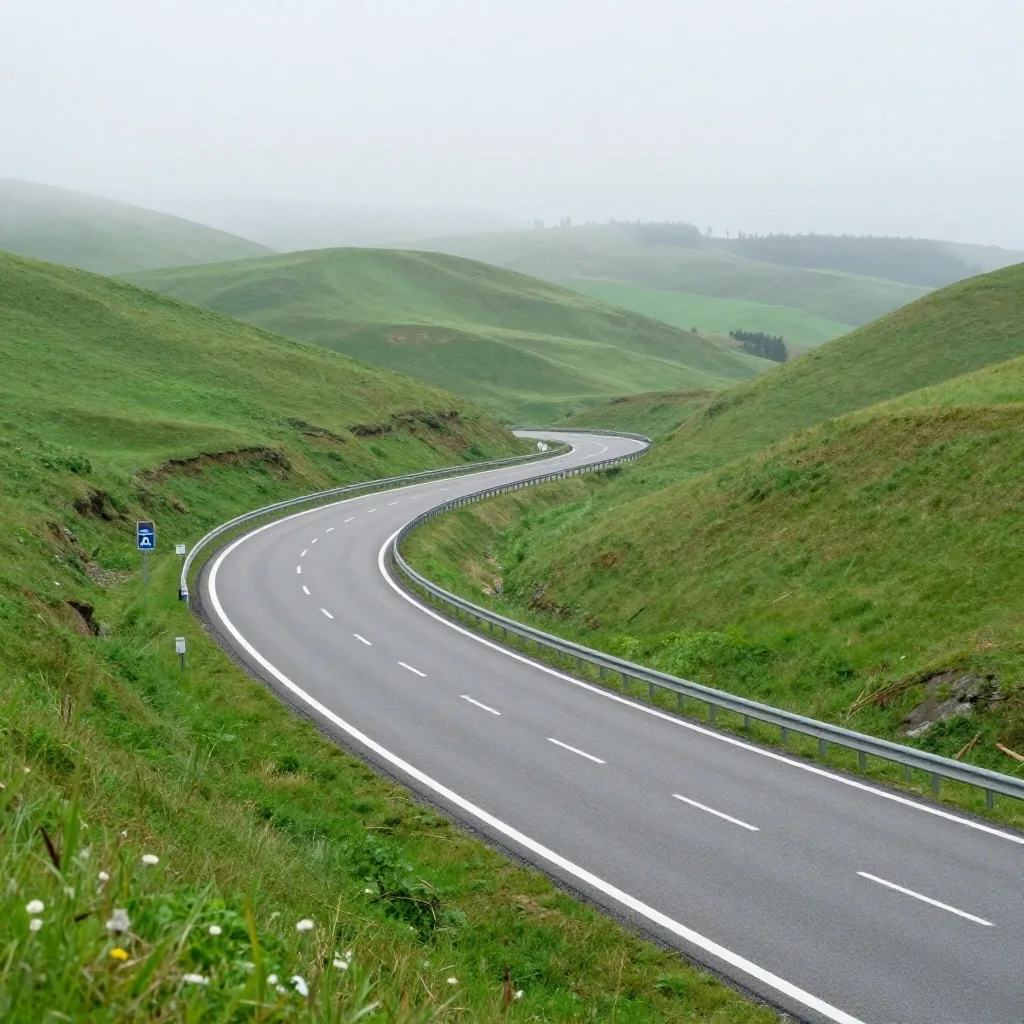
Plate — corridor frame
East to west, north to south
Read the fold first, then the road. Each corridor is a direction served by several connected motorways.
Why corridors matter more than individual roads
A corridor is a direction of travel that several roads serve together. When you plan by corridor, a closed section or a traffic jam becomes a switch rather than a dead end, because you understand where the route is going.
Austrian long-distance driving is naturally organised this way: east to west along the Danube axis and north to south toward the Alps and the southern border. Learning the corridors gives you a mental map that survives any single road being unavailable. It is the difference between following instructions and understanding the trip.
For drivers planning a road for car travel in Austria, this view helps before you open any planner. You first decide whether your journey runs east to west, south toward Graz and Carinthia, across the Tauern range, or west toward Vorarlberg. The road numbers follow from that decision, not the other way round.
East to west
Danube axis via Linz and Salzburg
North to south
Toward the Alps and the southern border
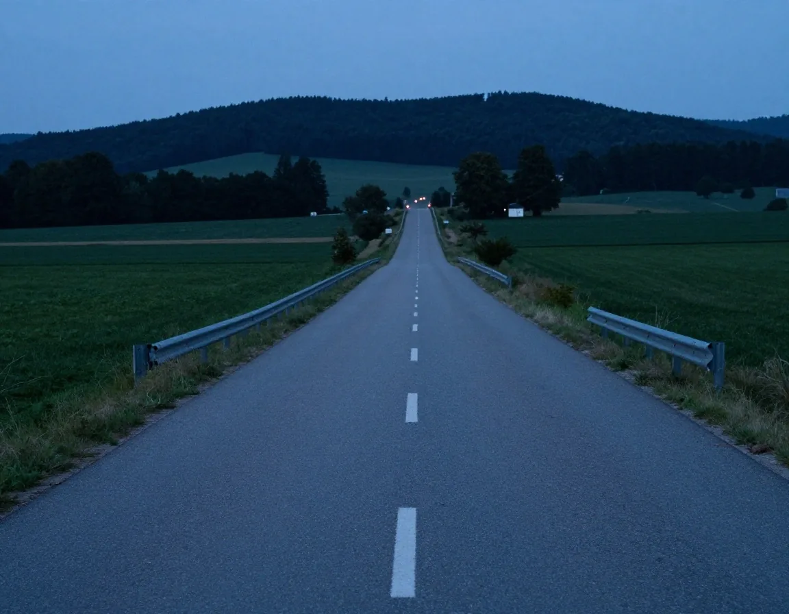
Corridor A1 — east-west spine
The A1: the east-west spine
The A1 is the busiest long-distance motorway in Austria, running from Vienna westward through Linz and Salzburg and on toward the German border. It serves the main population centres and carries a large share of domestic and transit traffic.
That makes it fast when clear and slow when not. For a Vienna to Salzburg drive, it is the default choice, and the ordinary-road alternatives are much slower over that distance. Expect commuter pressure near the cities and holiday peaks on the corridor as a whole, especially on Friday afternoons and at the start of school holidays.
Connects — Vienna · Linz · Salzburg
Use when — east to west, long distance
Above — the straight westward line, photographed from above the carriageway
Corridor A2 — south-east
The A2: south toward Carinthia and Italy
The A2 runs south from the Vienna area toward Graz, Klagenfurt and the Italian border near Villach. It is the corridor for the south-east, including journeys toward Slovenia and the Adriatic.
The southern sections climb into hillier country, and the route connects with the A10 for the Tauern crossing. If your destination is Graz or beyond, the A2 is usually the backbone of the plan. Where it meets other corridors, junction traffic can build, so plan the merge points rather than assuming a clean run.
See border crossings and cross-border routes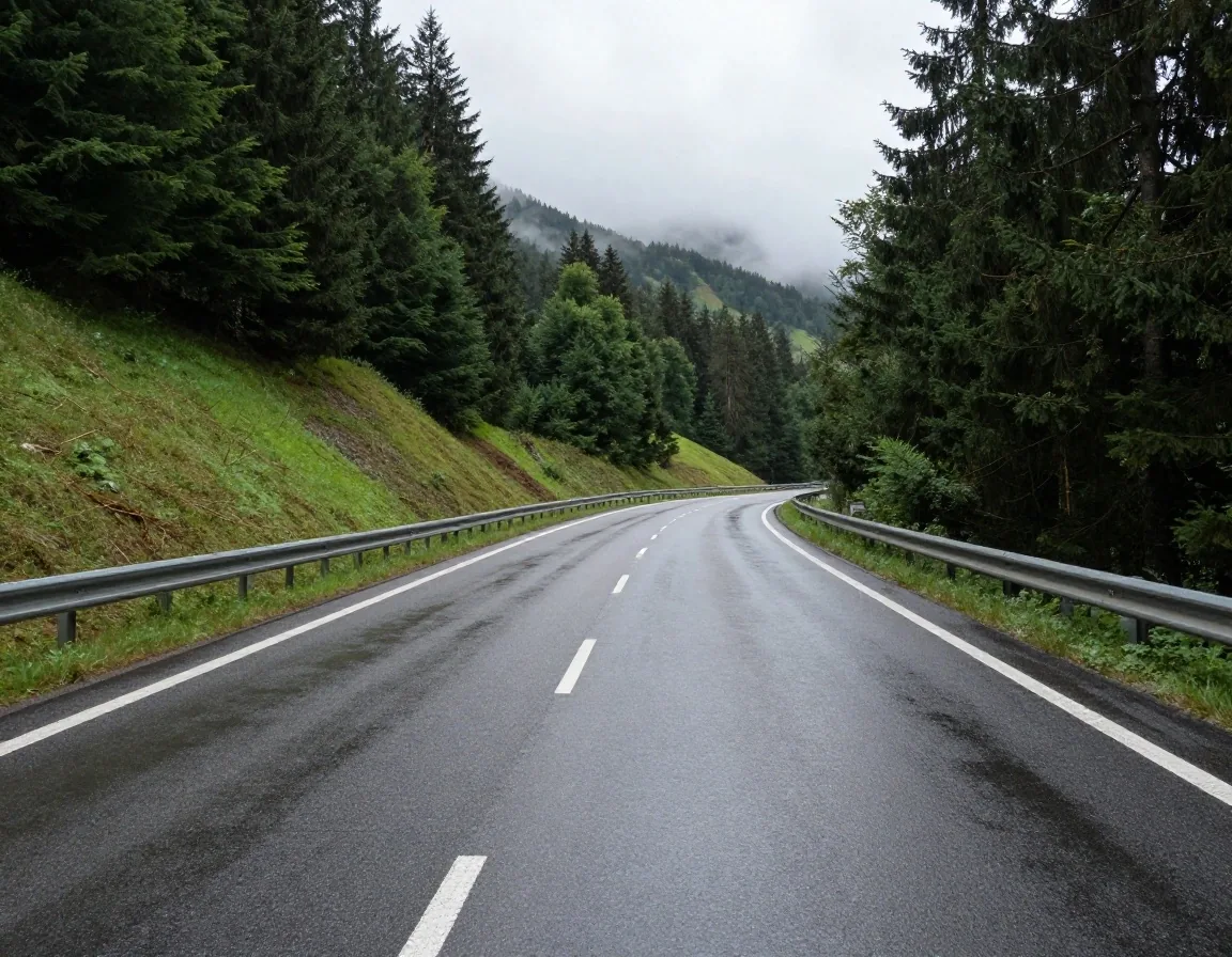
Hills south of Graz — where the corridor starts to climb
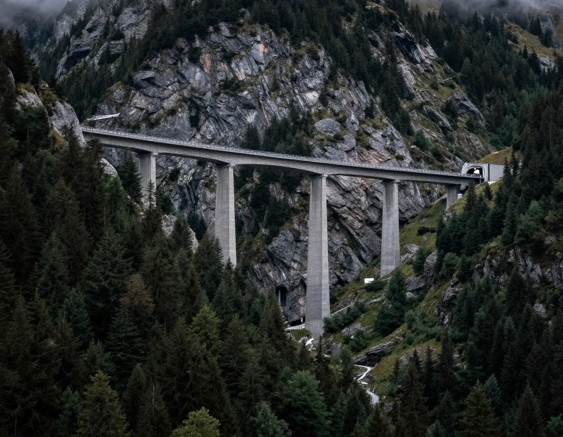
Tauern range — valley road, gradients and tunnels
Corridor A10 — alpine crossing
The A10: the Tauern crossing
The A10 climbs through the Tauern range between Salzburg and Carinthia, making it the main motorway link across the Alps in central Austria. It mixes fast valley sections with long gradients and tunnels.
It is the corridor most affected by alpine weather. Winter conditions can slow it, and some sections carry specific tolls. For a Salzburg to Villach drive, the A10 is the direct option, but the mountain character means you should treat the time estimate with respect and check conditions before you commit.
See alpine passes and seasonal roadsThe A9 and the route to the south
The A9 runs from the Linz area south toward Graz and the Slovenian border, forming another north-south spine alongside the A10. It serves traffic between Upper Austria, Styria and the south-east, and it links with the A2 near Graz.
Where the A9 and A10 both offer a route toward the south, the choice depends on your starting point and destination rather than on one being universally better. Drivers heading between Linz and Graz usually find the A9 the natural line.
A9 line
Linz to Graz, then to the Slovenian border
North to south
Meets A2 near Graz
A10 line
Salzburg to Villach across the Tauern range
Central crossing
Check weather first
West
Toward Vorarlberg, the Rhine valley and borders
Long westward
Plan border together
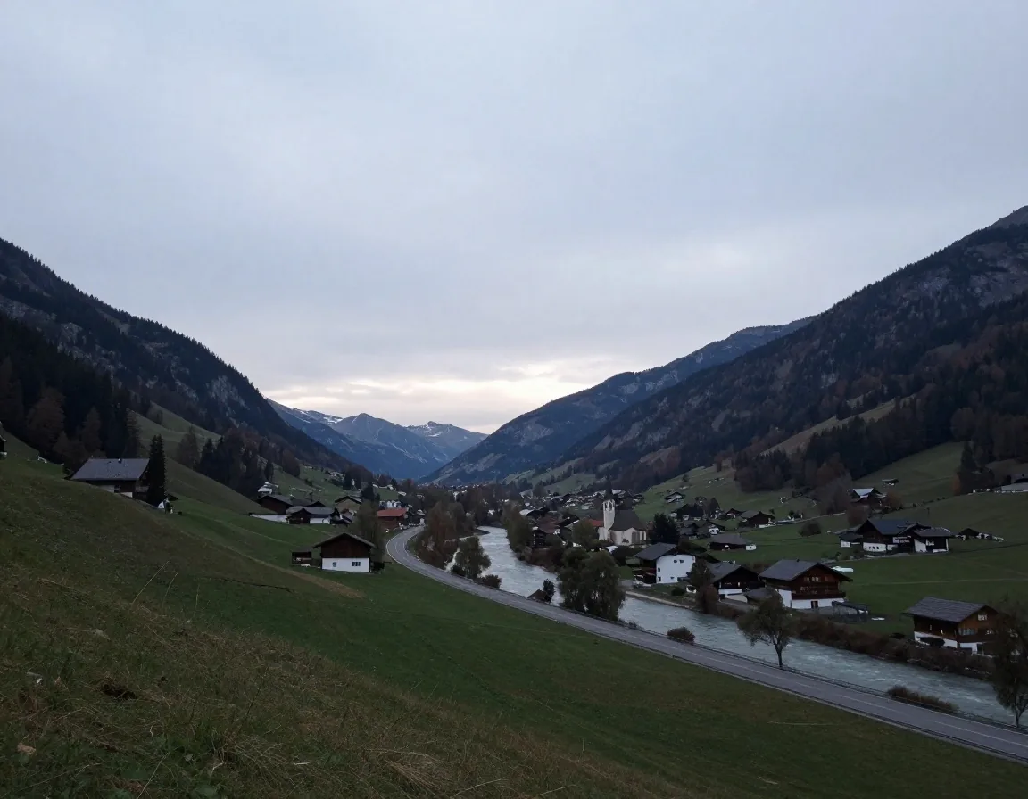
Rhine valley — the distinct western network
The western corridors toward Vorarlberg
In the west, the motorway network continues toward Vorarlberg and the Swiss and German borders, with the A14 and connecting sections serving the Rhine valley. This is a distinct part of the network, closer to the alpine passes and shaped by cross-border traffic.
Journeys from eastern Austria to Vorarlberg are long, and the western corridors are the sensible line once you are past Salzburg. If your trip continues into Switzerland or Germany, plan the western corridor together with the border crossing you intend to use, including where you will stop for fuel and rest.
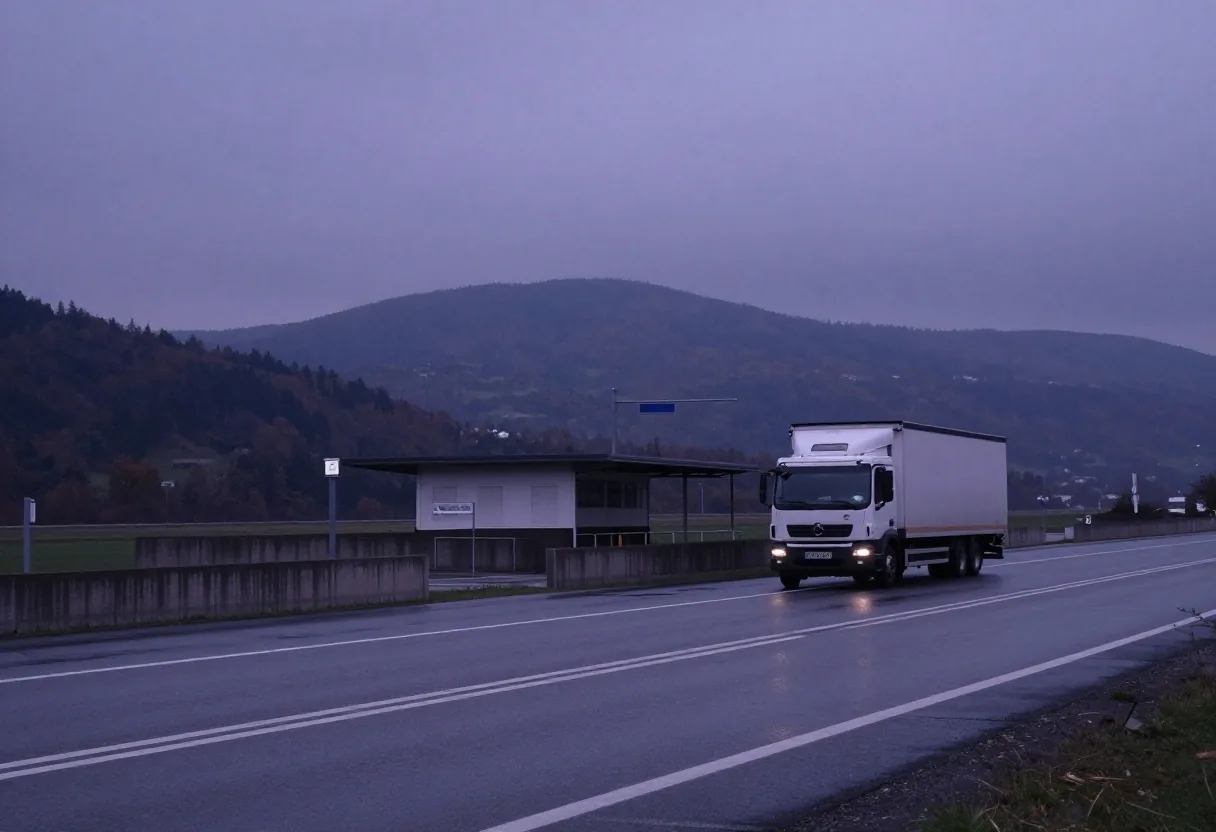
Junction sense
Where corridors meet, and why that matters
The value of a corridor is partly about where it connects to the others. Junctions where two motorways merge are where a delay on one can ripple onto the other, and they are worth knowing by name in advance.
Around Vienna, Linz, Salzburg and Graz, several corridors converge, so the approach to a city is often the slowest part of an otherwise fast drive. Planning the merge, not just the corridor, is what keeps a long drive predictable. Treat the junction as a feature of the route, not a gap between motorways.
What to check at each merge
Name the junction before you drive, so diversion signs make sense at speed.
Allow extra time for city approaches, even when the open corridor looks fast.
Keep one parallel option in mind for the corridor you chose.
Decide fuel and rest stops outside the busiest merge, not inside it.
Choosing a corridor for the trip you have
The right corridor follows from your trip, not from habit. An east-west journey uses the A1 and its extensions. A southern journey uses the A2, with the A10 or A9 depending on where you start. A western journey builds on the corridors toward Vorarlberg.
Once the corridor is set, the specific roads and stops fall into place. If two corridors both serve your trip, the deciding factor is usually your starting point and the time of day, not a fixed rule. Corridors are tools, and you choose the one that fits.
Driving Vienna to Salzburg — which line?
Stay on the east-west spine. It is the direct line between the two cities, with the most services and the clearest diversion options if a section slows.
Driving to Graz or further south — which backbone?
Build around the southern corridor. From the Vienna side that means the A2; from Upper Austria it often means the A9 joining the same southern direction near Graz.
Driving Salzburg to Villach — what to respect?
Take the Tauern crossing as the direct option, but treat it as mountain driving. Check conditions, keep the time estimate generous, and note toll sections separately.
A clear boundary
What the corridor overview cannot tell you
This page describes the shape of the network, and the shape is stable. It cannot tell you about roadworks, weather closures or today's traffic, because those change constantly.
For anything time-sensitive, check official road information before you drive. The corridor overview is the frame; the current conditions are the picture you fill in on the day. Keeping those two separate is what lets a page like this stay useful for years rather than going stale in a week. Plan with the frame, confirm with the current picture.
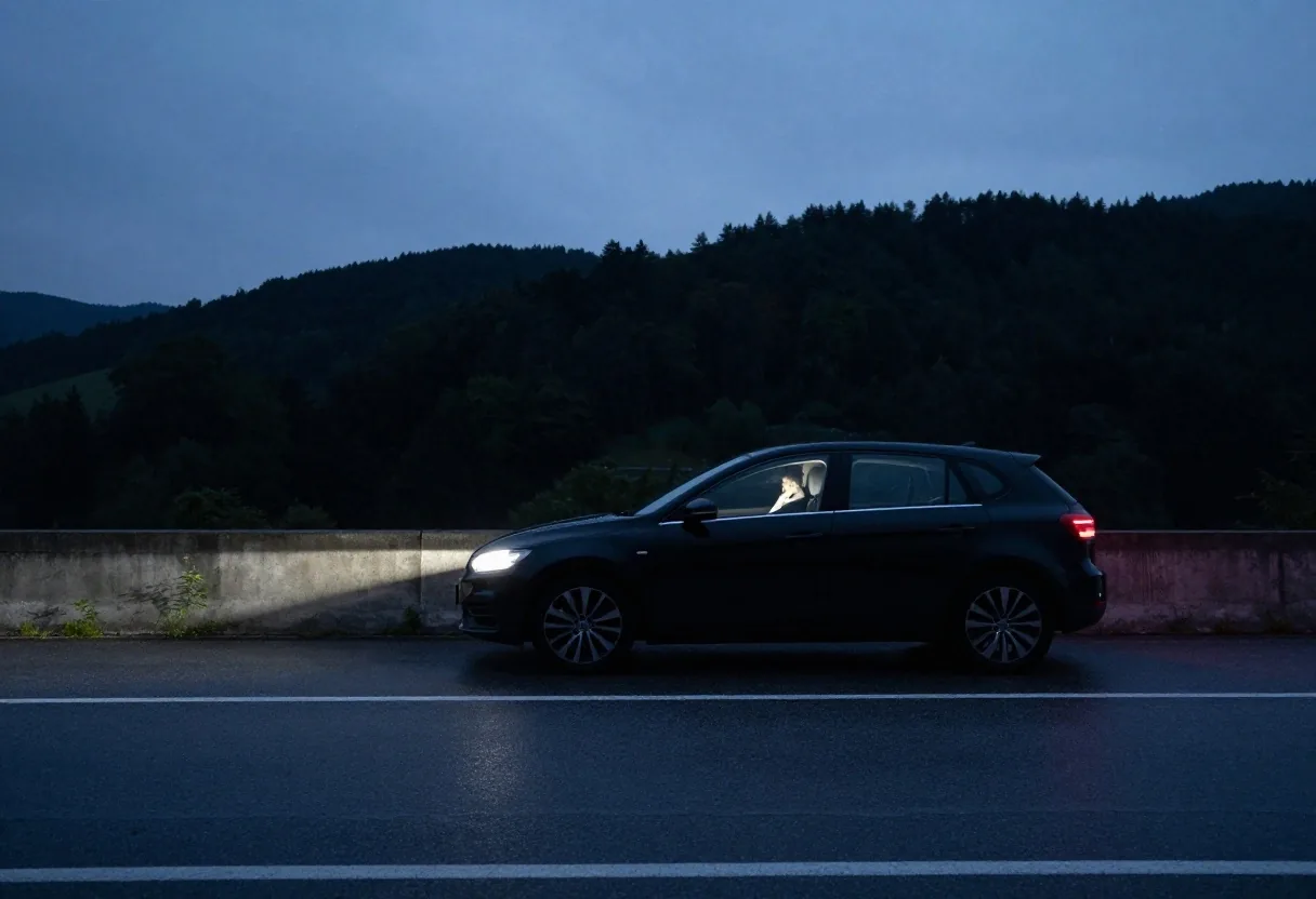
Turning a corridor choice into a route
A corridor is a direction, not a finished route. To complete the plan, decide where you join the corridor, which junctions matter, where you stop, and where you leave for your destination. Check the vignette and toll context for the sections you will use, and note any toll section separately from the general vignette. Then build the time estimate around the corridor you chose.
Vigernette · Mariahilfer Strasse 88, 1070 Wien · info@vigernette.com
Keep exploring: route planner basics gives you the method, this page gives you the direction. For toll questions, review the vignette and toll context next.